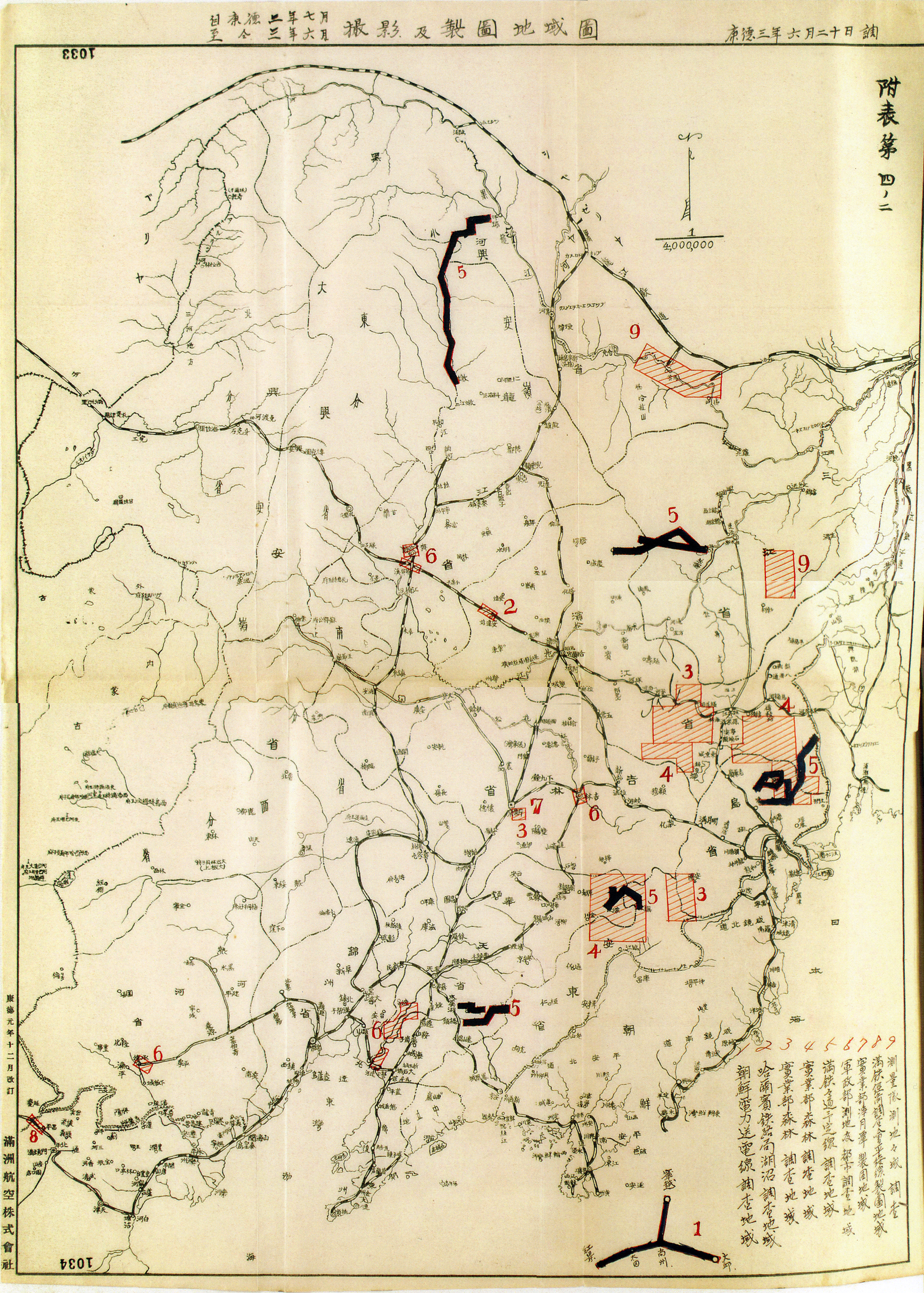
Problems with Triangulation
Since the eighteenth century, trigonometric rhetoric not only had given colonizers a sense of mastery over distant places, but also expressed the paragon of imperial rule in ordering the land in rational, standardized terms.
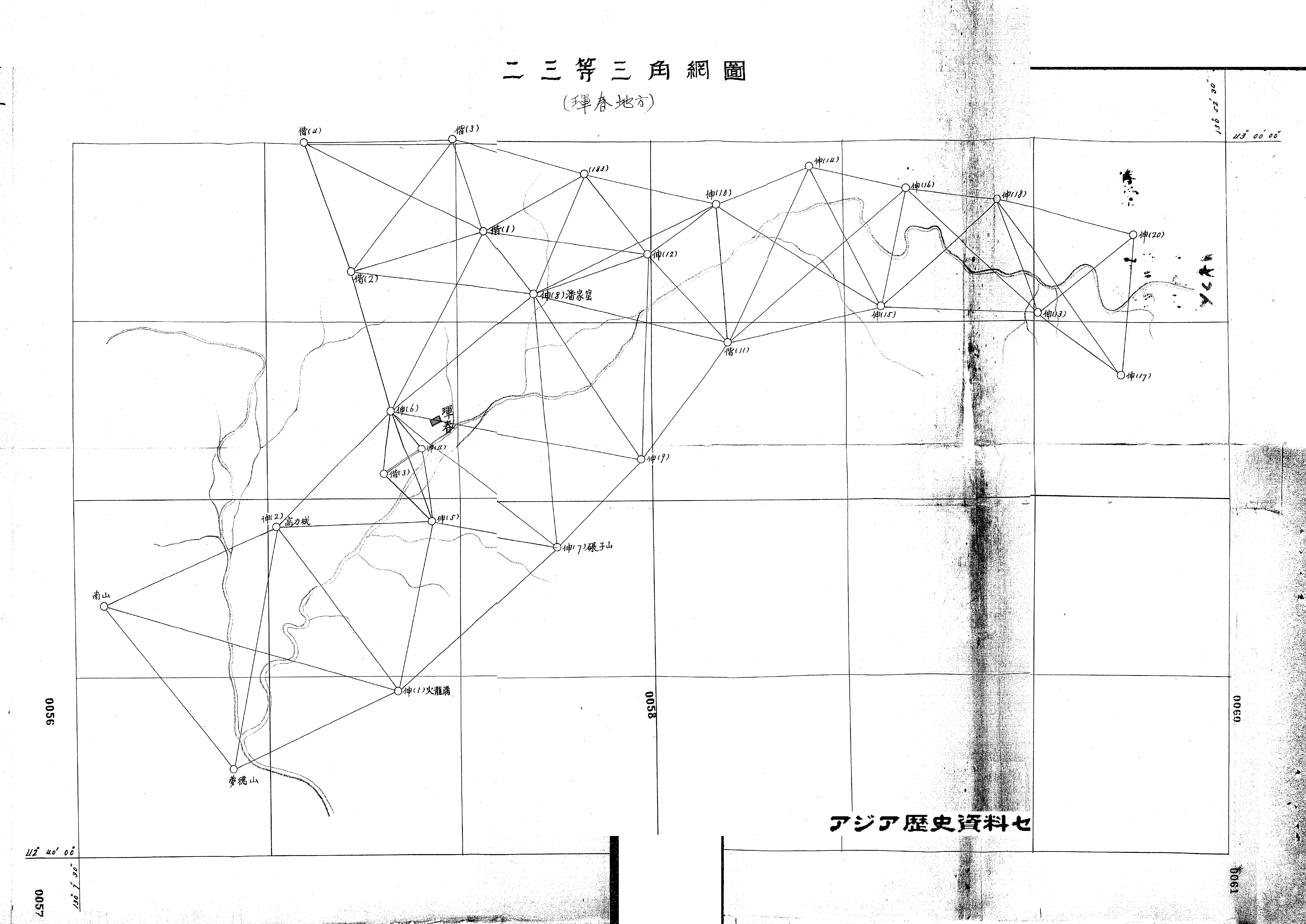
For ground triangulation, teams of eight, ten, sometimes more, would spend several days in the countryside measuring angles, distances, and elevations between various points across the land. They drafted chains of triangles by connecting these points in order to calculate what they believed to be 'exact' distances through trigonometric principles.
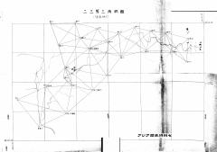
like the one above of the Hunchun area near the Korean border.
Yet it was prone to error. There, they encountered bandits who occasionally robbed, even killed, workers. The mapping chains overlapped entirely with Manchukuo’s railroad network, not only for security reasons, but also for the simple fact that the rail passed through most of the country’s denser communities. Despite its pretenses of approaching “the cartographic ideal,” by the advent of the airplane, trigonometric rhetoric could no longer ignore the shortcomings of triangulation: the imprecision, the illegibility, and the inefficiency of it all.